
CANOEING NORTHERN QUEBEC AND LABRADOR
Hudson Bay
We've paddled quite a few miles on Hudson Bay, using it as a way to gain access to the interior rivers we wanted to see. The logistics are fairly easy: Drive to Radisson and put our canoes and most of our gear on a freight flight to Kuujjuarapik on the coast. A day or two later, we could take a scheduled flight to the village.
We used Kuujjuarapik as a starting point for trips on the Larch, Leaf, Nastapoka and Clearwater Rivers, as well as for our trip up the coast to Inukjuaq.
The eastern shore of Hudson Bay between Kuujjuarapik and Umiujaq is very beautiful and, for such a large body of water, pretty friendly to canoeists. The shores are a succession of rocky points and headlands separated by protected coves with sand beaches. Offshore islands provide some protection from the worst of the weather. Many of these islands are cuestas, which provide a dramatic backdrop when you look toward the open expanse of the bay.
Plenty of freshwater streams enter the bay, but we still carried several gallons of fresh water with us in case the weather forced us to land at an inconvenient spot.
In 2007, when one of our team was recovering from surgery and wanted to avoid portaging, we travelled about 300 miles on Hudson Bay from Kuujjuarapik up to Inukjuaq.
North of Umiujaq, the coast became more rugged with fewer sandy beaches to use as sanctuaries from the wind. The few trees on the shoreline thinned out the further north we went. For most of the trip, we relied solely on driftwood for our fires. The country and weather conditions were more intimidating the further north we went.
I'm glad we did the trip, but I would probably not want to paddle the whole route again.
All photos by Al Stirt except as noted: DB - Dave Brown, WS- Wendy Scott.

Hudson Bay Coast
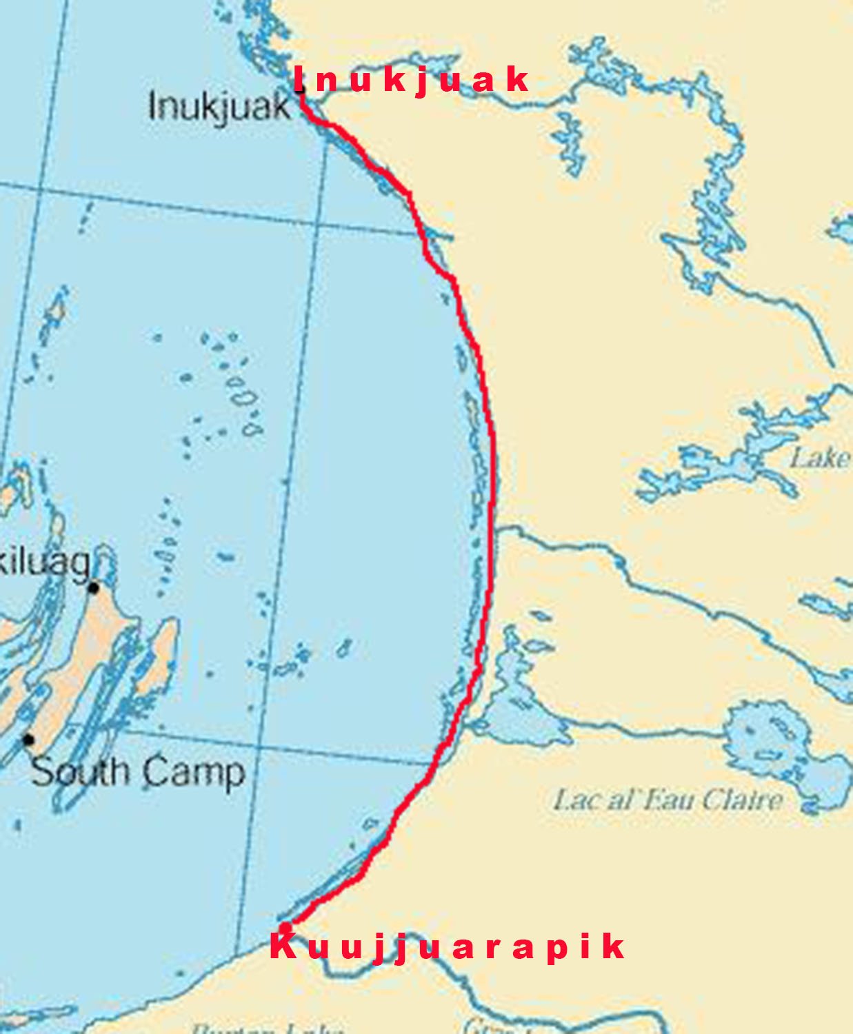
From Kuujjuarapik to Inukjuak
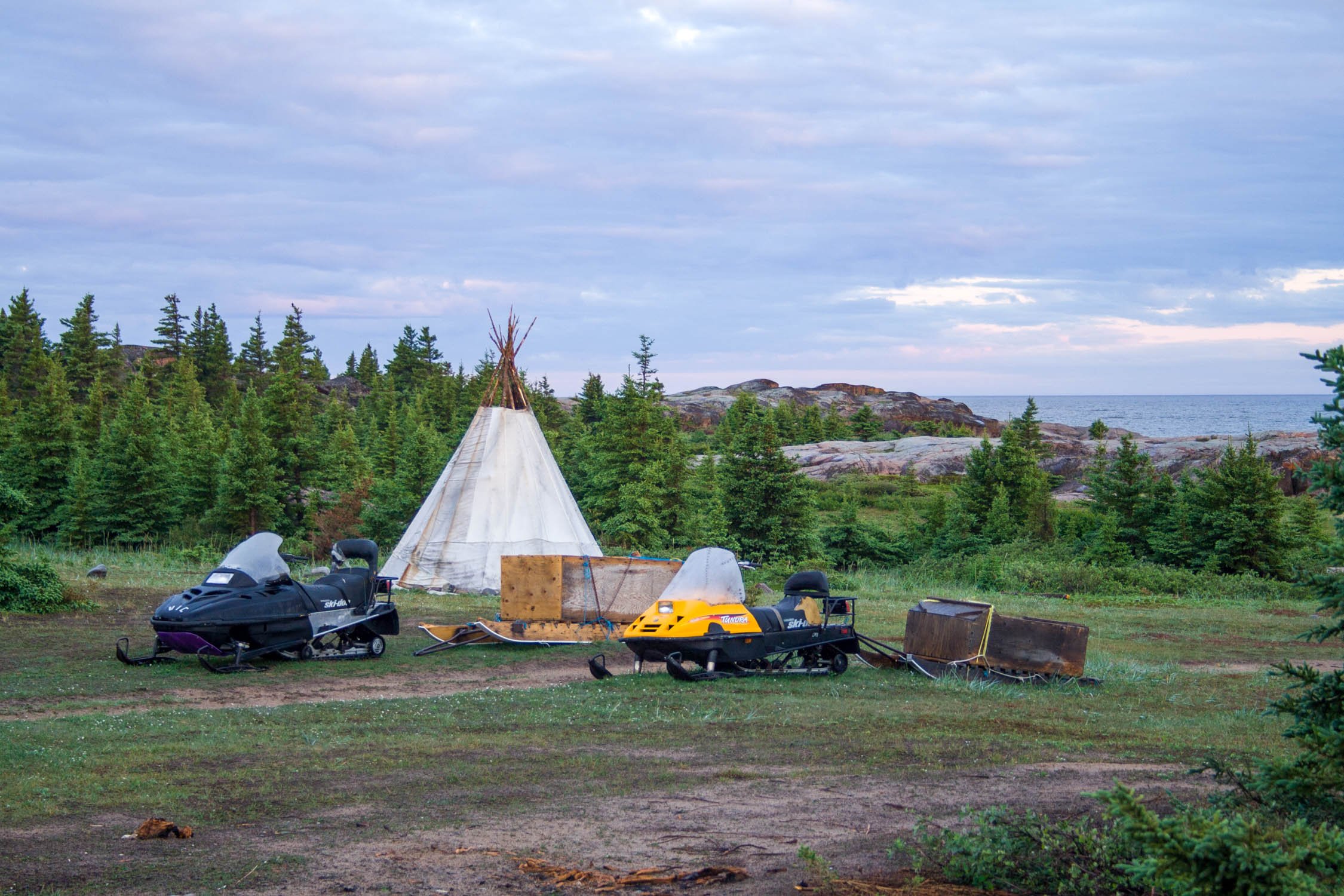
The tepee and the snowmobile.
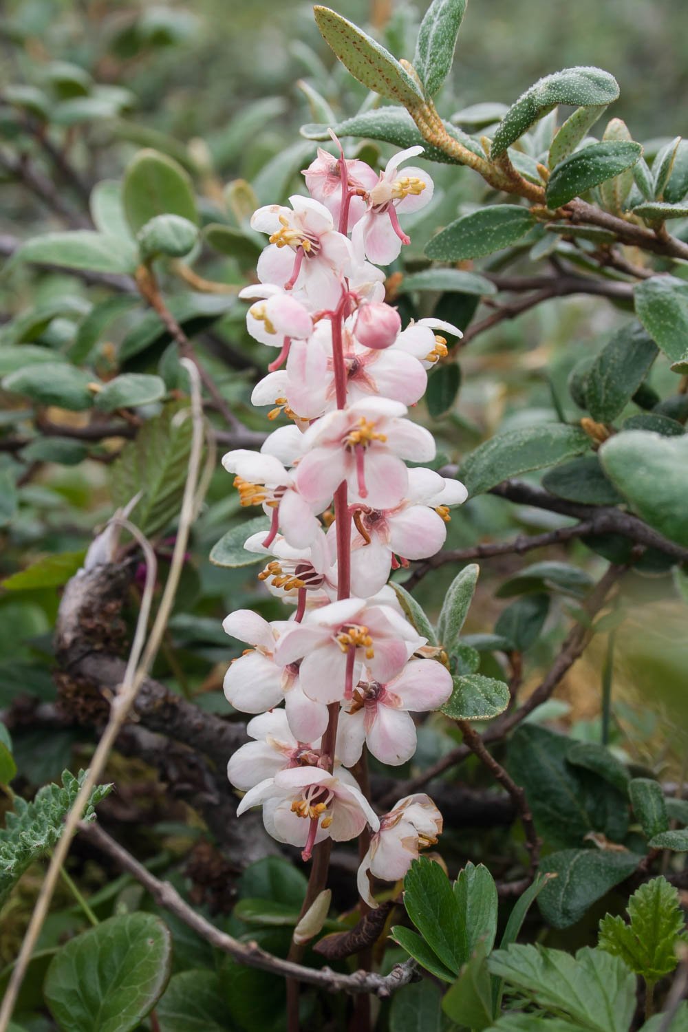
Large-flowered Wintergreen.

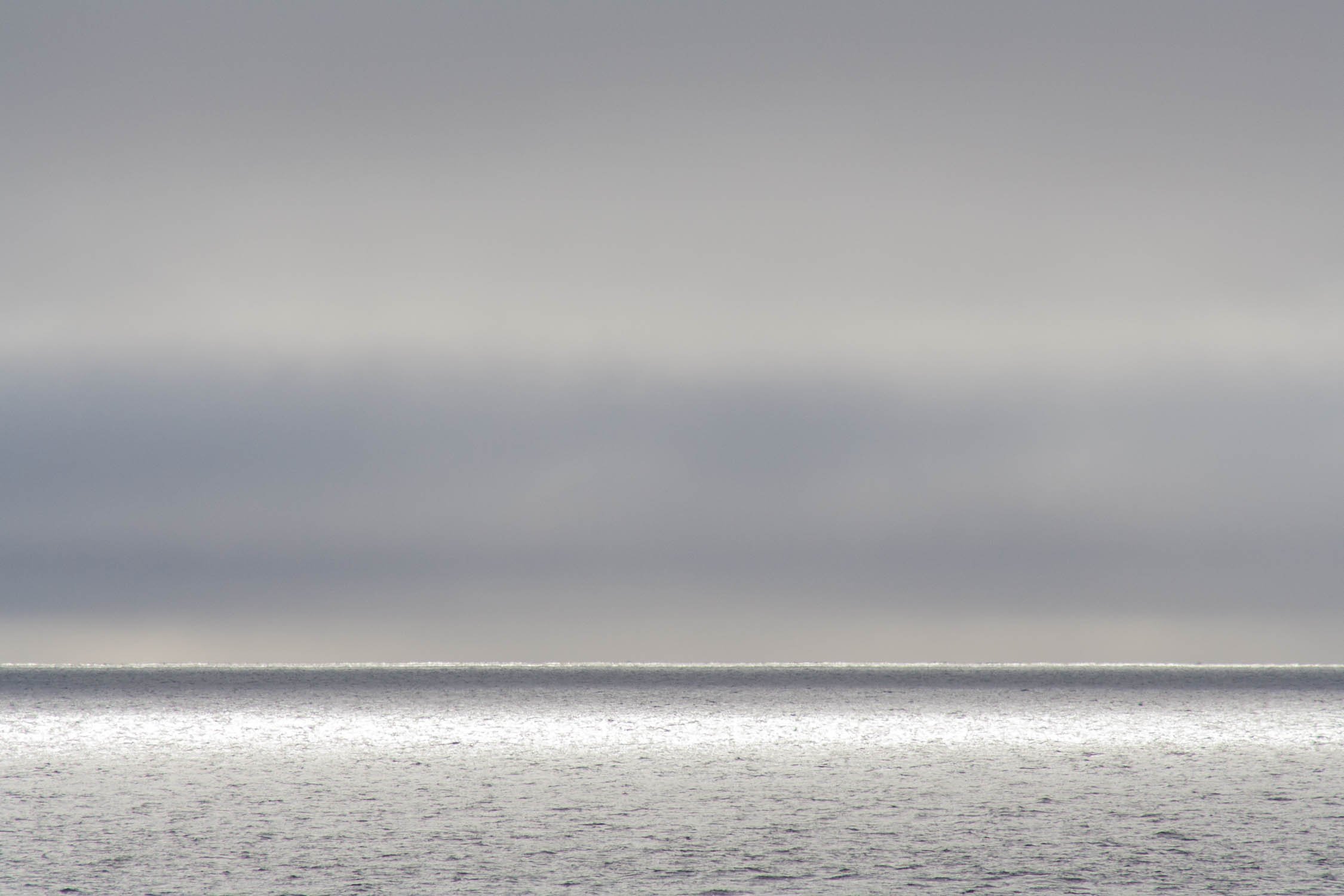
Water on sand.

Fossil stromatolites on Manitounuk Sound.

Passing Le Goulet - the "Gulf Hazard".

A cuesta near Richmond Gulf.

A beach north of Umiujaq.

Chickweed hidden in the rocks.

Wendy on bedrock porphyry.

Porphyry.

Striped bedrock.

One of many beaches on the southern part of our route.

An uneasy day. Fog and wind and an inhospitable shoreline.

Lichen.
We were in a narrow fog bank just over the shore most of the time.

There were very few trees north of Umiujaq.

A linear storm cloud. The thunder was so deep it rattled the shoreline.

A lawn mowed by geese.

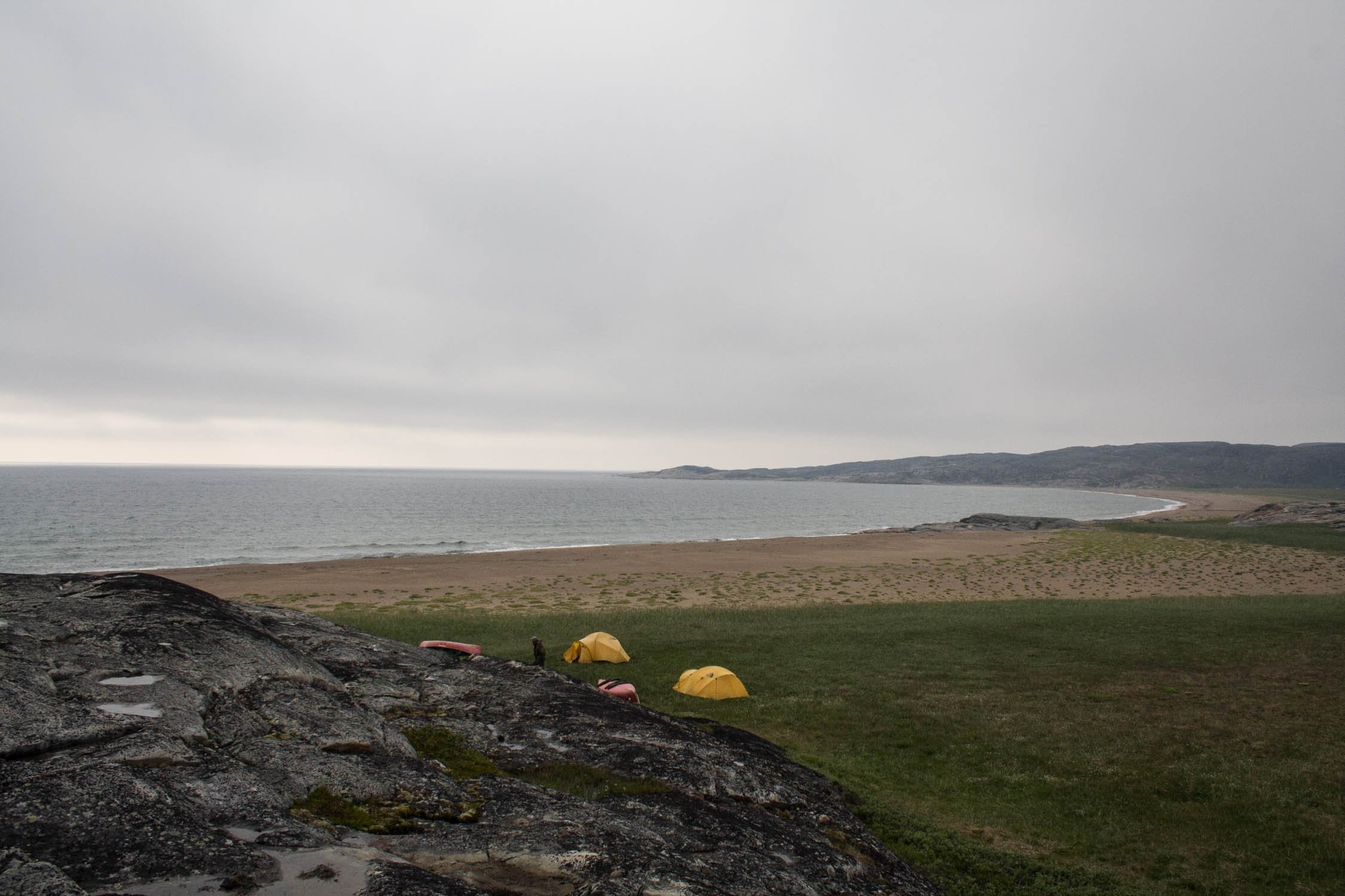
Waiting out a storm.
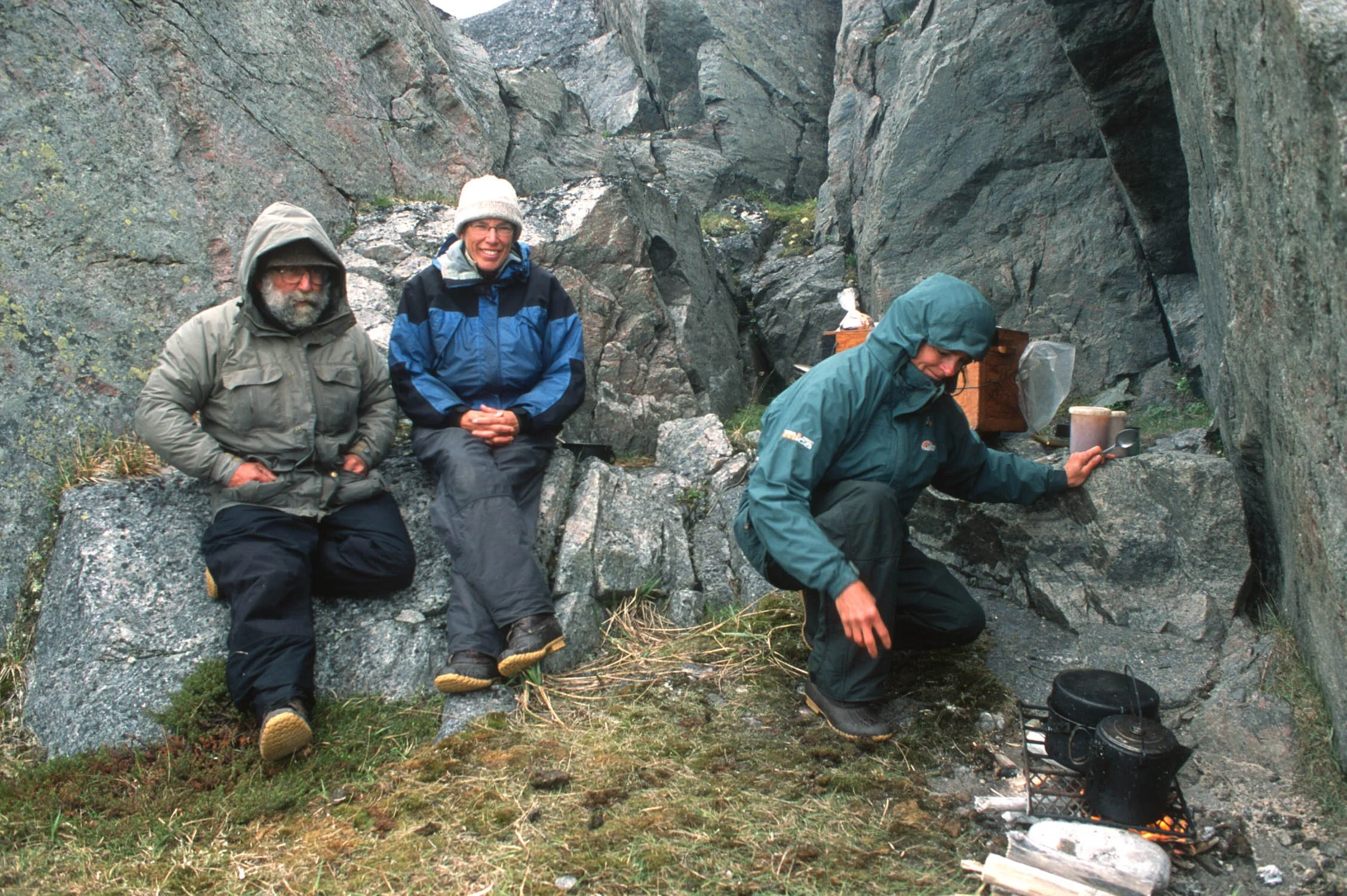
Getting shelter from the storm. DB photo.

Beluga vertebrae.
There were fewer beaches the further north we went.

Once again sheltering in the rocks. WS photo.

Cinquefoil.

Plenty of driftwood.

After a day in large swells, we reach the protection of some islands.

Paddling towards Inukjuak.

Camped near a caribou highway.

Open vista with more cuestas.

Glad to be on land after another challenging paddle.

Dora the Explorer came to greet us.
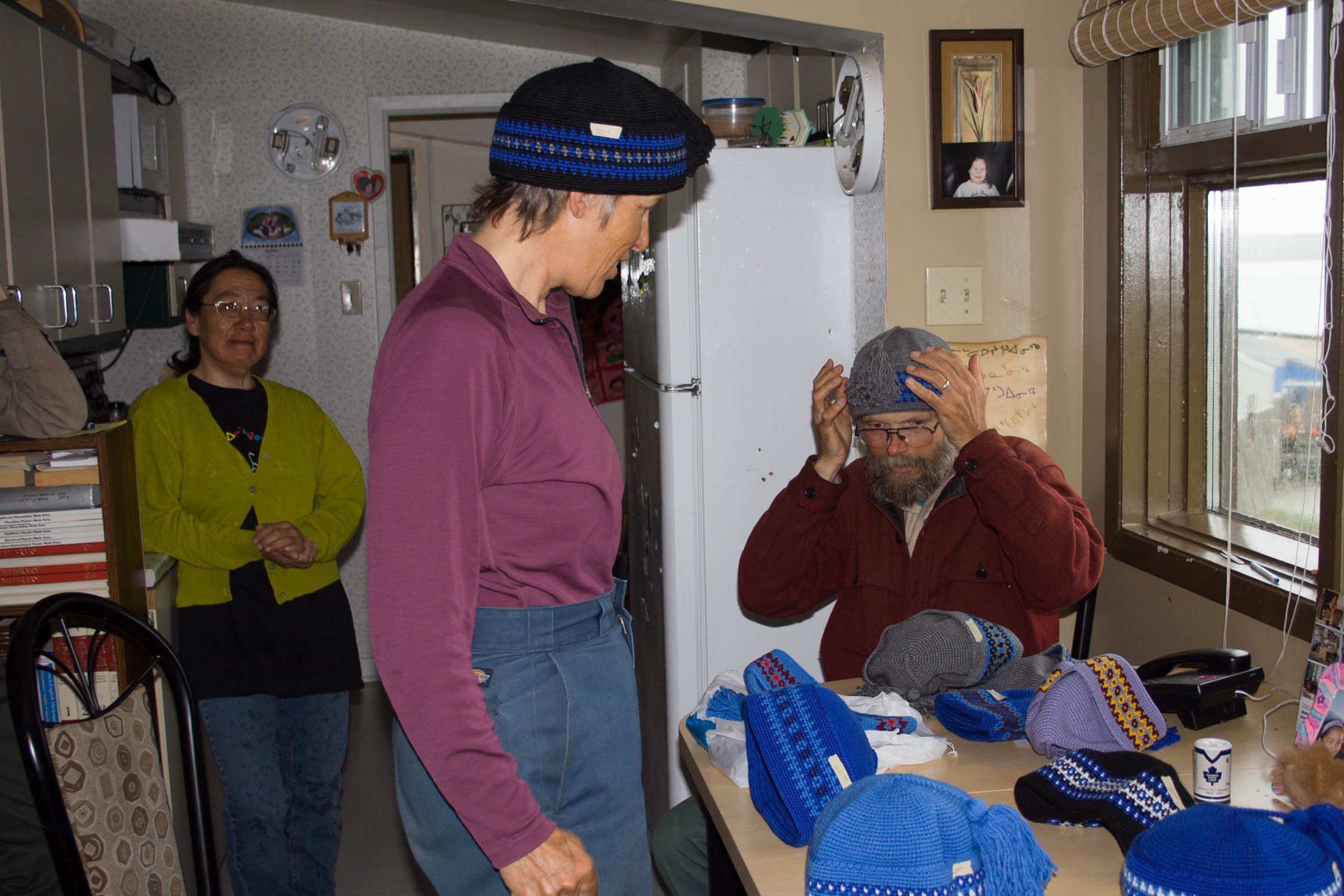
Buying hats in Inukjuaq.