CANOEING NORTHERN QUEBEC AND LABRADOR
Larch River
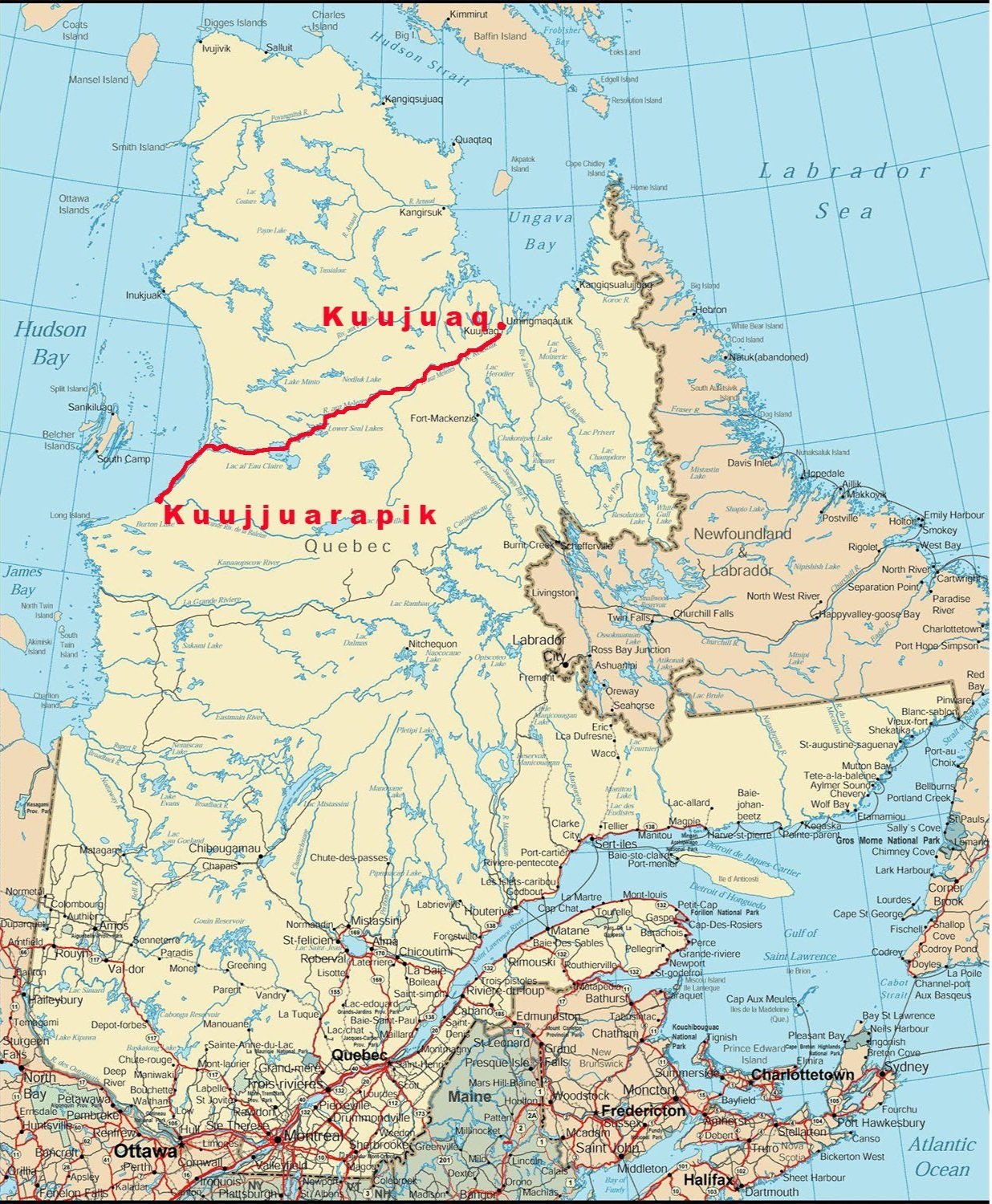
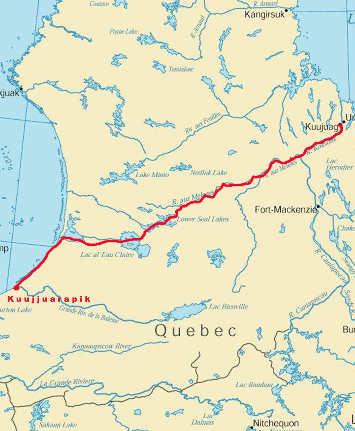
In 1993 we followed a route described by the geologist A.P. Low in 1898. He hired some First Nation guides to cross the Ungava Peninsula from the Hudson Bay coast to Ungava Bay.
We started in Kuujjuarapik and travelled up the coast to Richmond Gulf. We crossed the gulf and went up the Wiachouan River (now called the De Troyes) and then went from pond to pond to get to the Clearwater River.
We ascended the Clearwater and travelled through Clearwater Lake and Seal Lake and then headed north to the height of land portage to the Larch River.
We followed the Larch until it joined the Caniapiscau River, forming the Koksoak, and then went down the Koksoak to Kuujjuaq.
We brought a copy of A.P. Low's report with us and could compare our observations with the ones he made almost 100 years before. We had the luxury of accurate, highly detailed maps and a chance to talk with Rod Beebe, who had traveled on most of the route a few years before us.
The whole route was spectacular and very remote. There were traces of indigenous travelers in the old trails and tepee poles we found along the way. Once on the Larch, we ran into the caribou migration and saw thousands of animals in the river and on the land. We saw no one else for five weeks other than a few people at a fly-in fishing camp.
All photos by Al Stirt except as noted: DB - Dave Brown, WS- Wendy Scott.
Larch River Trip.

Camping on Hudson Bay, cuestas in the background.

Racing to the mouth of the Wiachouan before the storm hits.

The long portage out of Richmond Gulf, around the first falls. DB photo

Almost to the top. DB photo

Very Scenic portage.
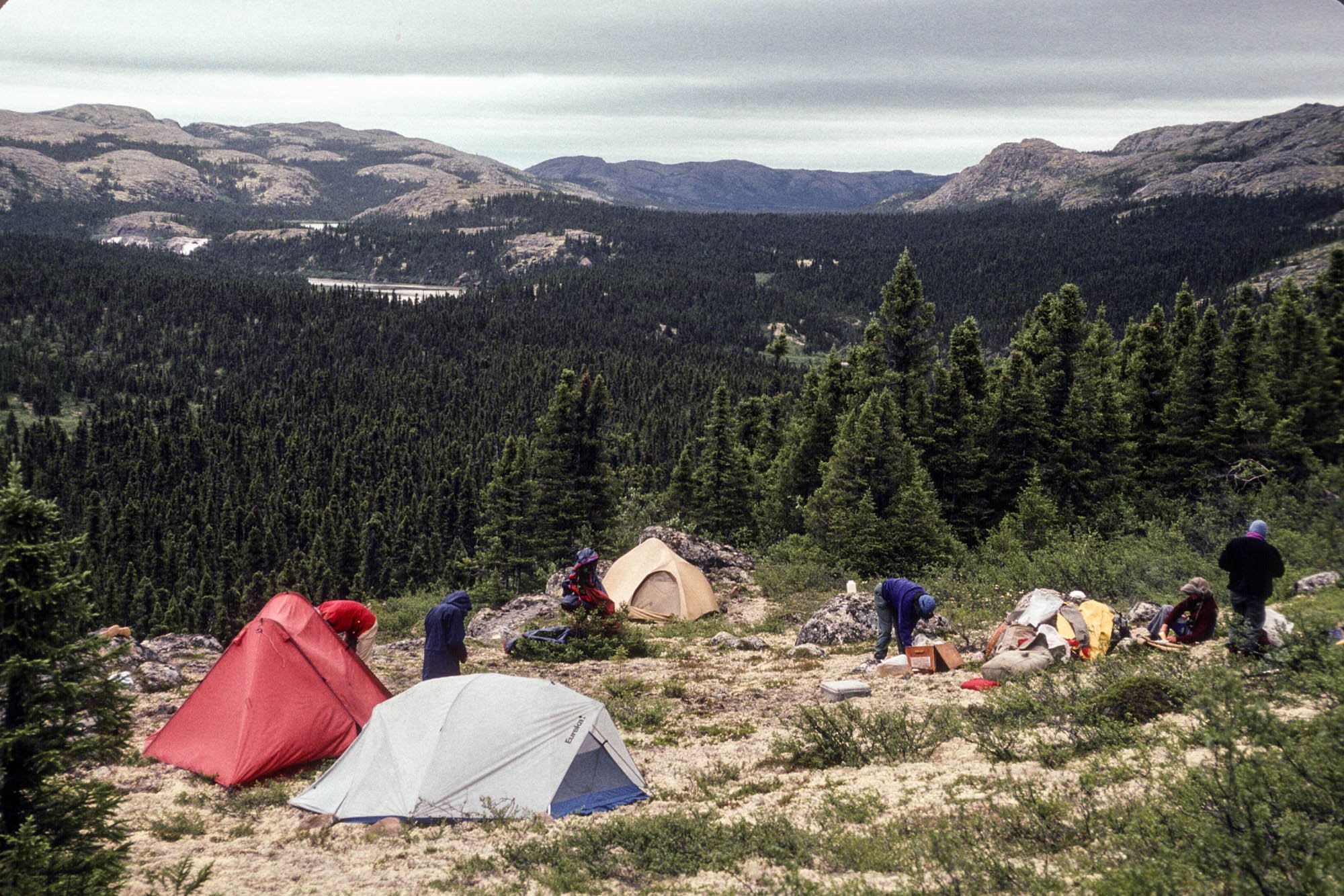
Camping at the top of the portage.

Getting down to the Wiachouan.

Approaching the second falls. DB photo

Going from pond to pond to get to the Clearwater River.
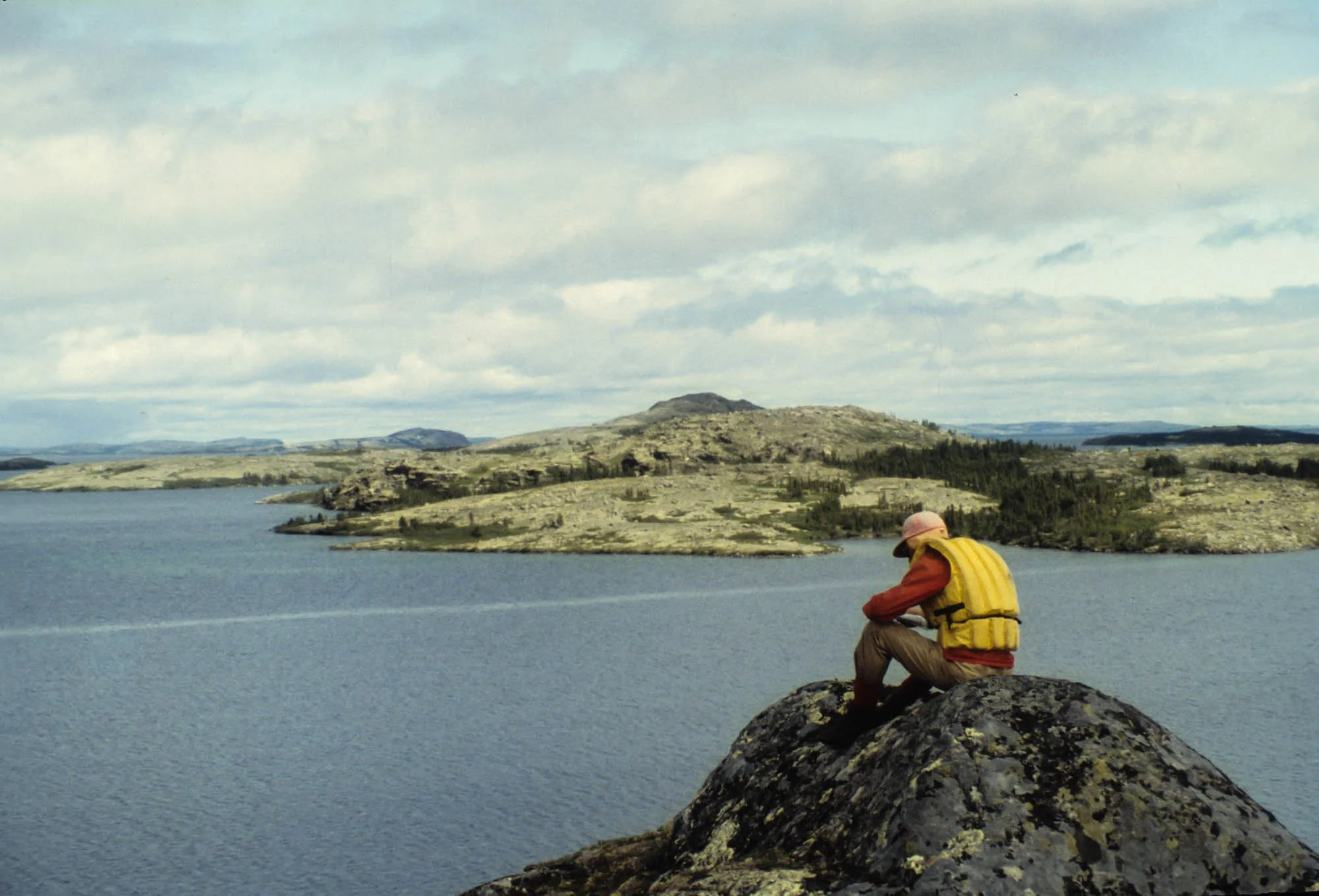
Walter at Clearwater Lake.
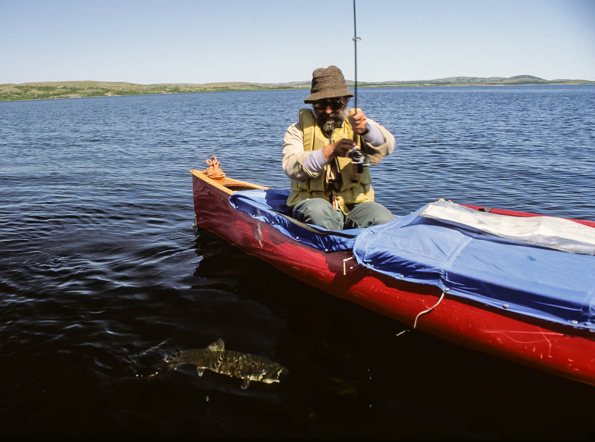
A lake trout for supper.

Going up Buzzard Brook on the way to Seal Lake.

Watching a storm move in at the top of Seal Lake. DB photo
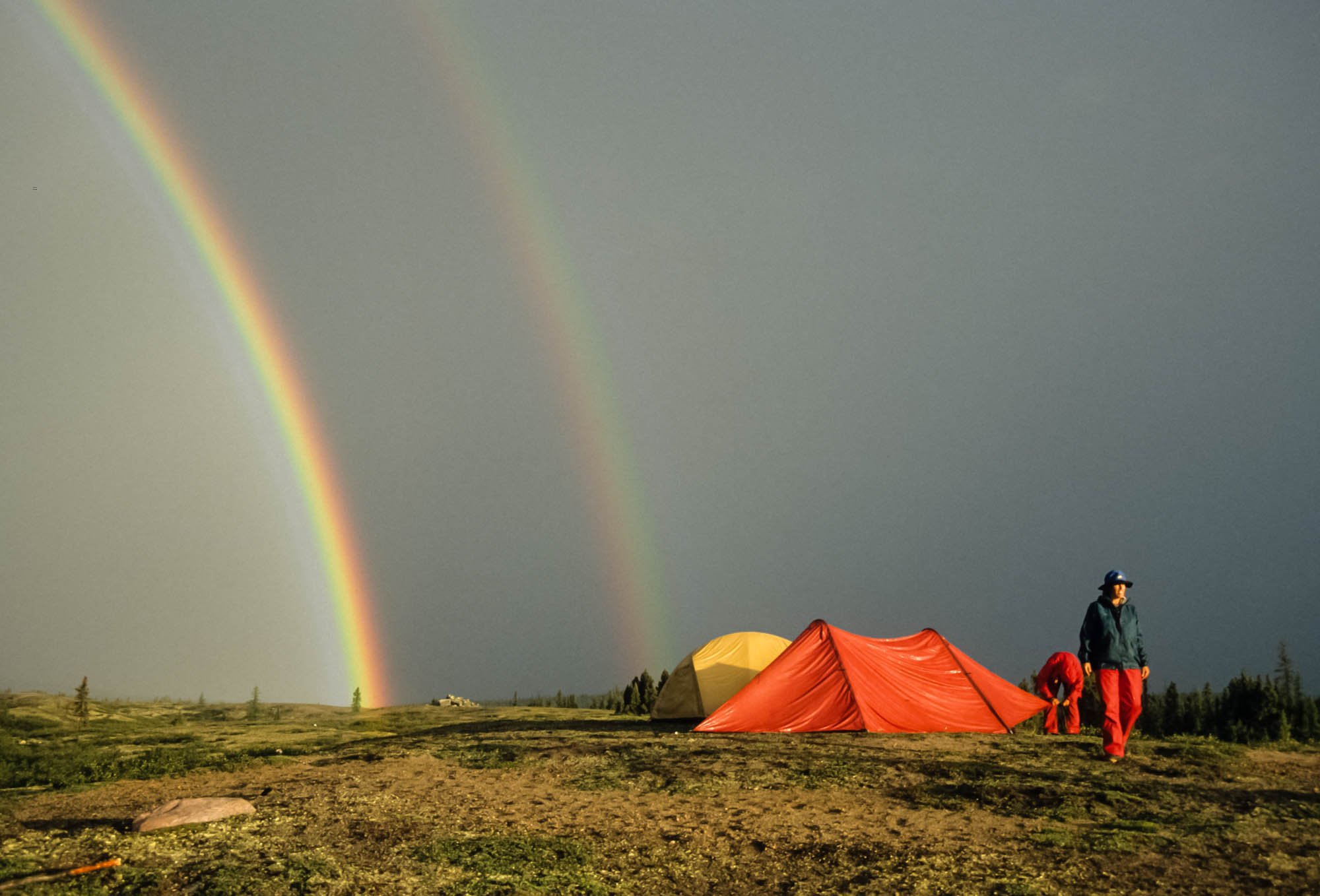
After the storm.

A rapid on the upper Larch. DB photo

Dick and Walter. DB photo

Hitting their line. DB photo

Dave and Al on the upper Larch.

Scouting a rapid lower down. DB photo

Dick with his fresh bread.

Caribou skyline.

We were with the herd for several days.

If we were quiet, they ignored us.

Caribou on the sand bars.

Looking upstream.

Dave and Ann on a heavy rapid in the lower river.

Lake trout wrestling. DB photo

Nice fish. DB photo